

Cenote Suytún, Ik Kil and Valladolid: a guide to what surrounds Chichén Itzá and makes the trip worth it
Chichén Itzá is the heart of the day, but cenotes Suytún and Ik Kil and the colonial town of Valladolid turn it into a complete trip. History, what to see at each stop, how the day runs and practical tips.
Almost everyone visiting the Riviera Maya wants to see Chichén Itzá at least once, and rightly so: few ancient cities in the Americas are as impressive. But the archaeological site is in Yucatán, about three hours from Cancún by road, and spending six hours in a van just to see the pyramid wastes the region. Around Chichén there are cenotes unlike anything else in the world and a colonial town that keeps Yucatán’s slow pace. Together they turn a visit to one archaeological site into a complete trip. This guide covers the four stops of that day: Cenote Suytún in the morning, Chichén Itzá at midday, Cenote Ik Kil after lunch and Valladolid to finish, with the history behind each and what to know before you go.
What a cenote is and why Yucatán has thousands
The Yucatán Peninsula is essentially a huge slab of limestone that was once seabed. It has almost no rivers on the surface: rainwater filters through the porous rock and flows underground, slowly dissolving the stone into caves, galleries and underground rivers. When the roof of one of those cavities weakens and collapses, it leaves an opening down to the fresh groundwater. That is a cenote, a word that comes from the Maya dzonot, meaning well or water-filled hollow.
There are open cenotes, like a round lake under the open sky; semi-open ones, with part of the roof still standing; and cavern cenotes, almost enclosed, where light enters through a hole in the ceiling. In the north of the peninsula many cenotes line up in a great arc that matches the rim of the Chicxulub crater, the meteorite impact associated with the extinction of the dinosaurs about sixty-six million years ago. The fractures left by that impact made it easier for water to flow and for more cavities to form in that area.
For the Maya, cenotes were far more than water. In a land without rivers, they were the reason a city could exist, which is why many were founded beside one. They were also sacred places, entrances to Xibalbá, the underworld, and sites of offerings to Chaac, the rain god. Today they are also the best way to cool off after walking under the Yucatán sun, and the day described here includes two very different ones.
Cenote Suytún: the first stop, before the crowds arrive
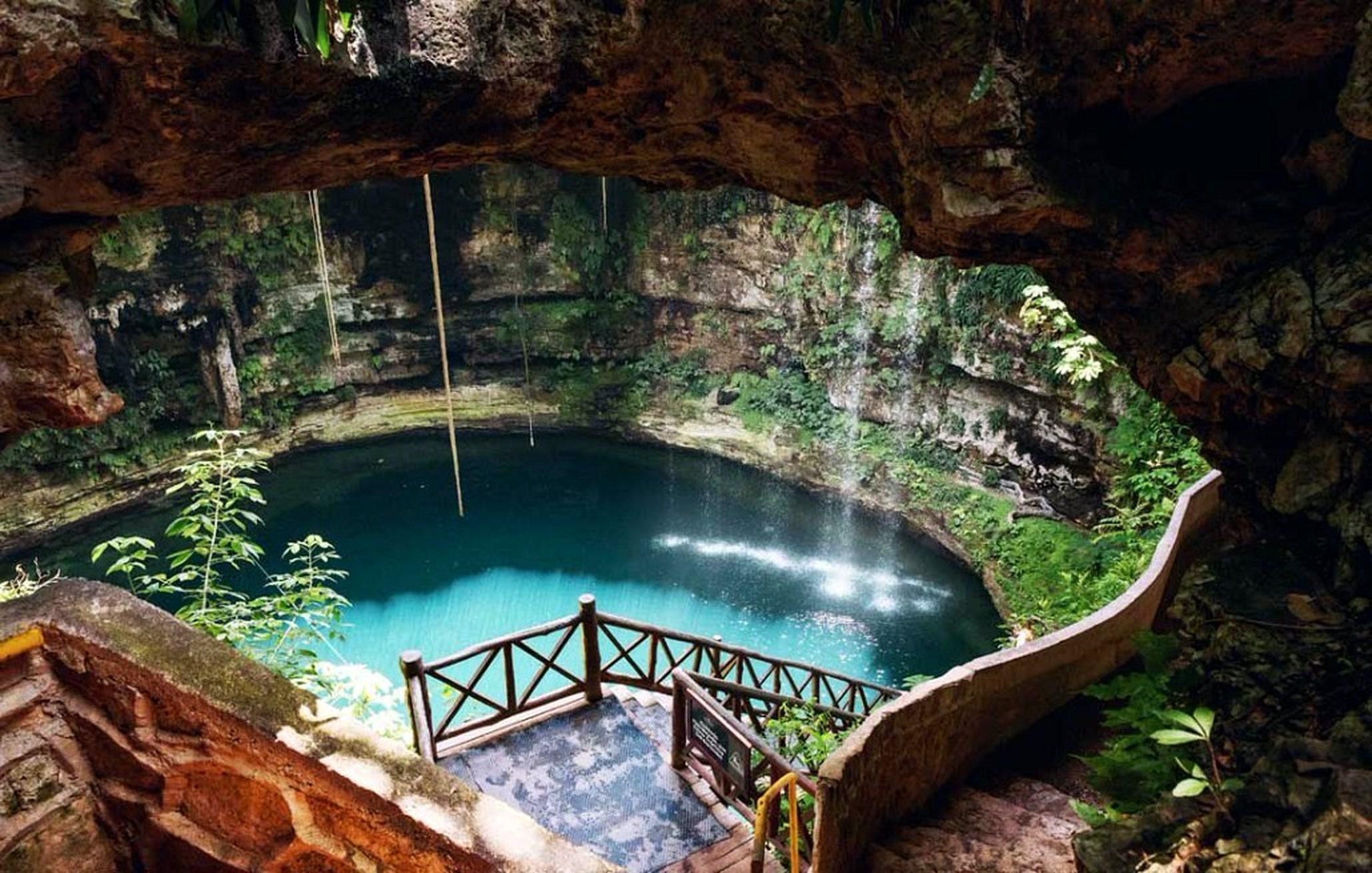
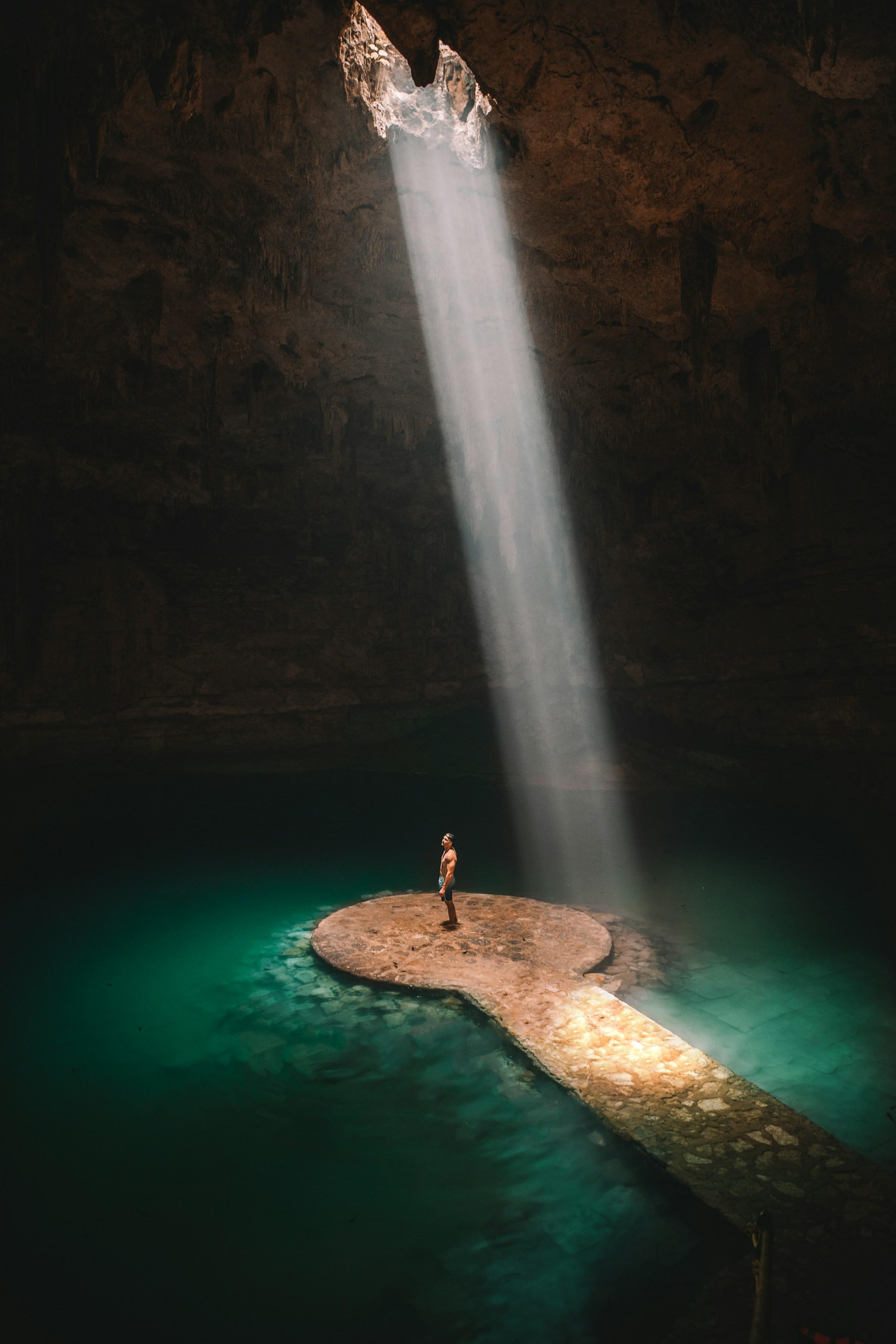
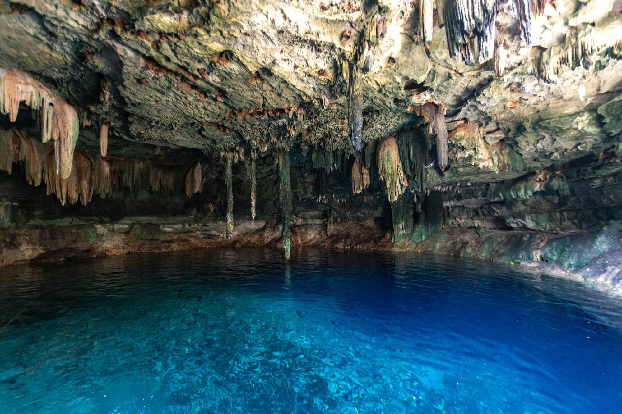
Suytún is very close to Valladolid and is a cavern cenote: an almost enclosed rock vault with a round opening in the ceiling where light comes in. From the entrance you walk down a stone staircase into the interior, where a narrow stone walkway leads into the water and ends in a circular platform surrounded by still water. That platform, with light falling from above and stalactites hanging from the ceiling, is the image that made Suytún famous on social media.
When the sun is high and the sky is clear, a beam of light cuts through the cave and falls straight onto the platform or onto the water beside it. It does not happen every day or at every hour: it depends on the time of year, the time of day and the clouds. But even without the beam, the place is striking for its silence, its echo and the color of the water under the light from the ceiling.
Arriving early makes all the difference. With few people the cave is calm, the water has not been stirred up and you can take the platform photo without a long line behind you. That is why it is the first stop of the day on our tour. You swim with a life vest, which is included, and sandals with good grip are a good idea: the steps and walkway are usually damp and the stone can be slippery.
Chichén Itzá: the city and its history
Chichén Itzá was one of the most powerful cities of the Maya world, especially between the ninth and twelfth centuries. Its name means "at the mouth of the well of the Itzá", and the well in question is the Sacred Cenote, north of the city. It was a political, trading and religious center that gathered influences from different regions of Mesoamerica, and you can see it in the architecture: classic Maya styles sit alongside elements reminiscent of central Mexico, such as feathered serpents and columns carved with warriors.
Over time the city lost power to other centers on the peninsula, although it was never entirely forgotten: the Maya of the region kept visiting the Sacred Cenote as a place of pilgrimage. In the early twentieth century that cenote was dredged and objects of jade, gold, ceramics and human remains were found, offerings that confirmed its ritual importance. Today Chichén Itzá has been a UNESCO World Heritage Site since 1988 and in 2007 was chosen as one of the New Seven Wonders of the World.
What to see at Chichén Itzá
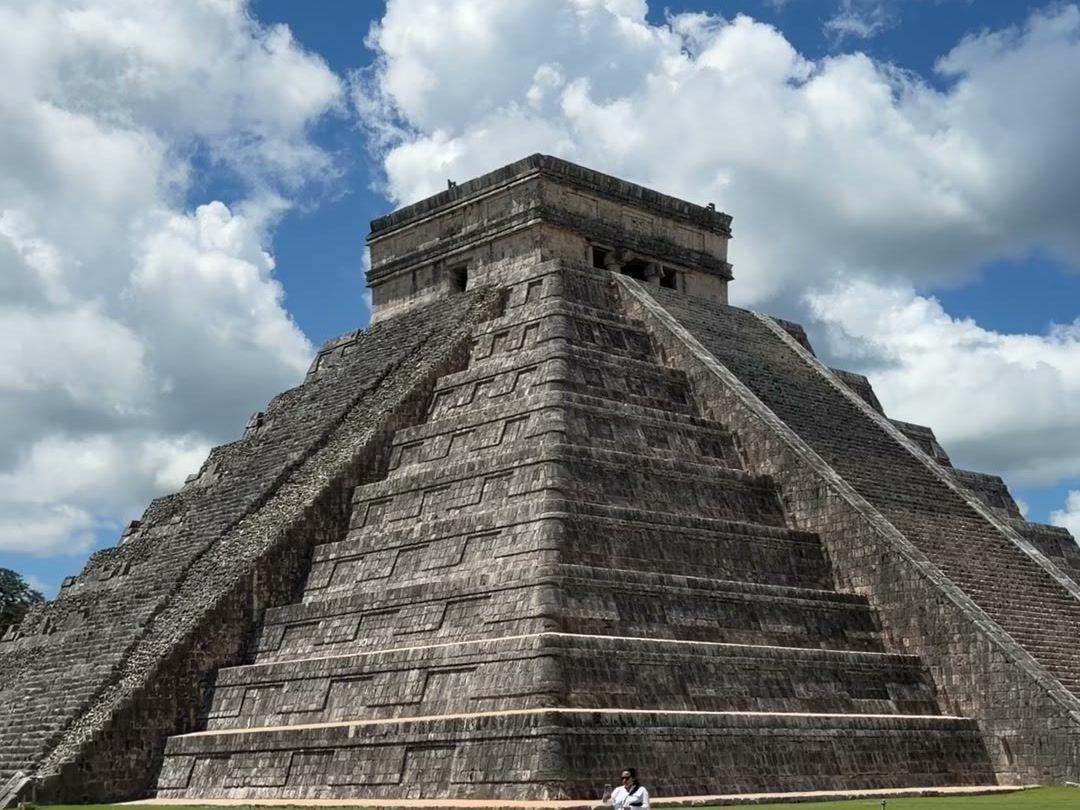
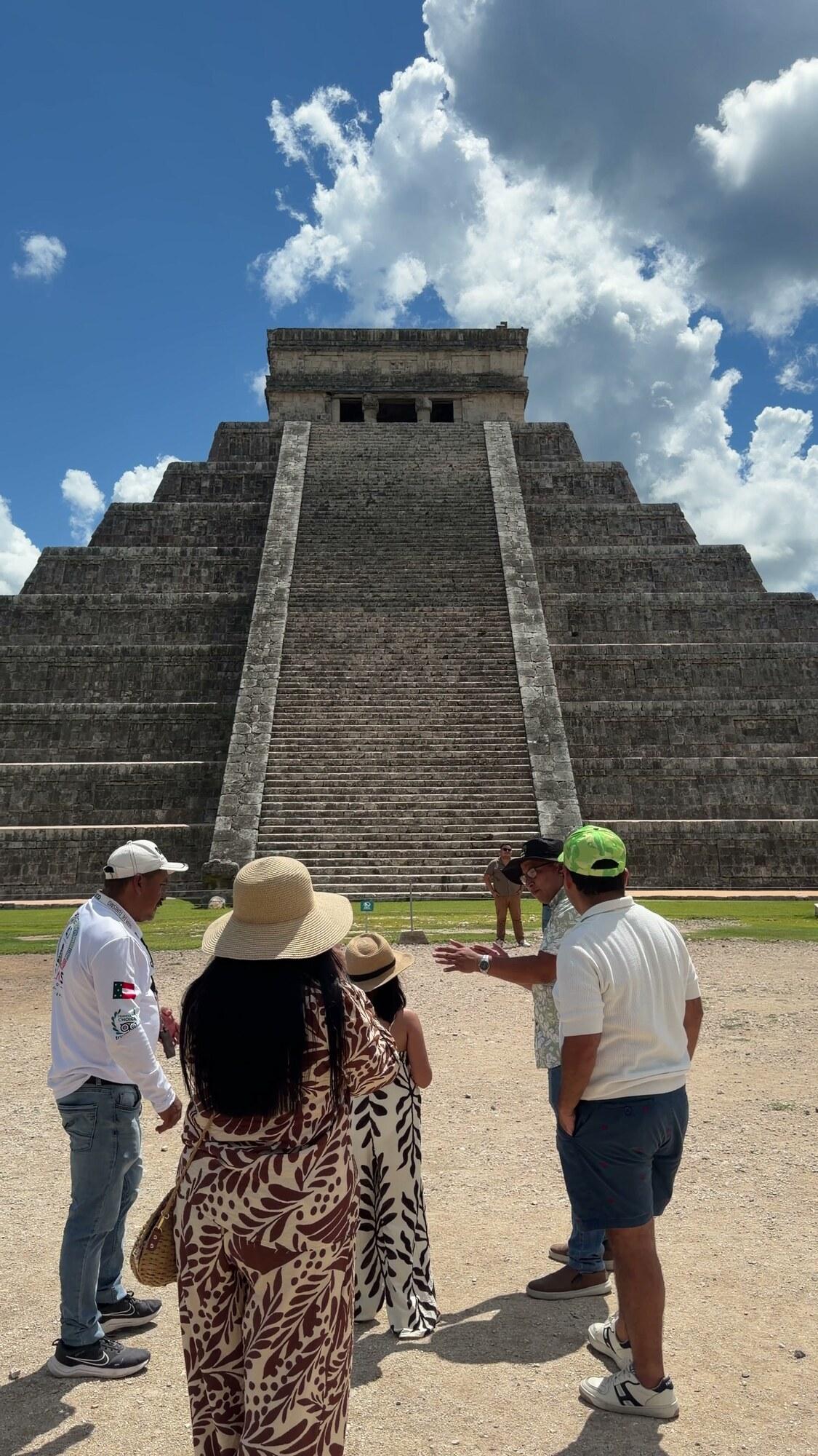
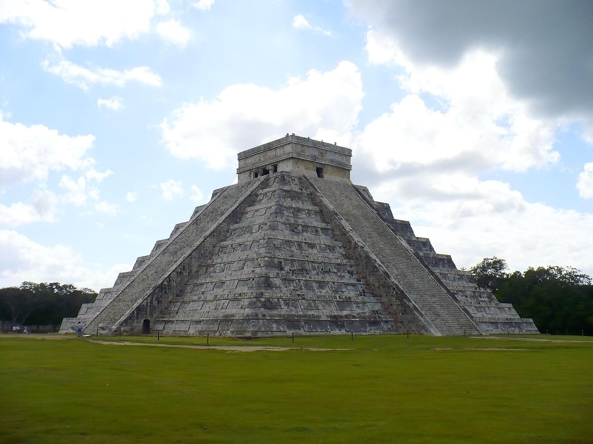
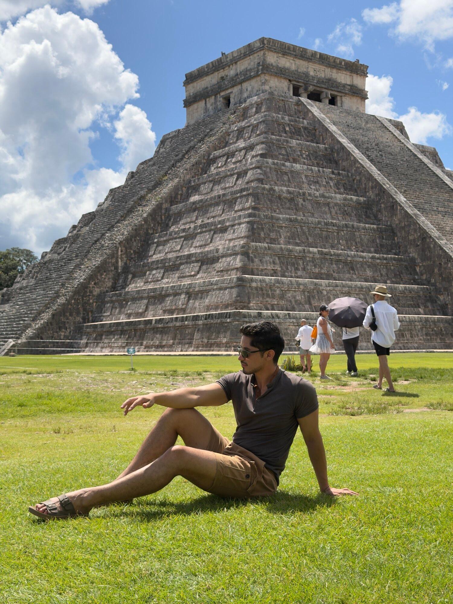
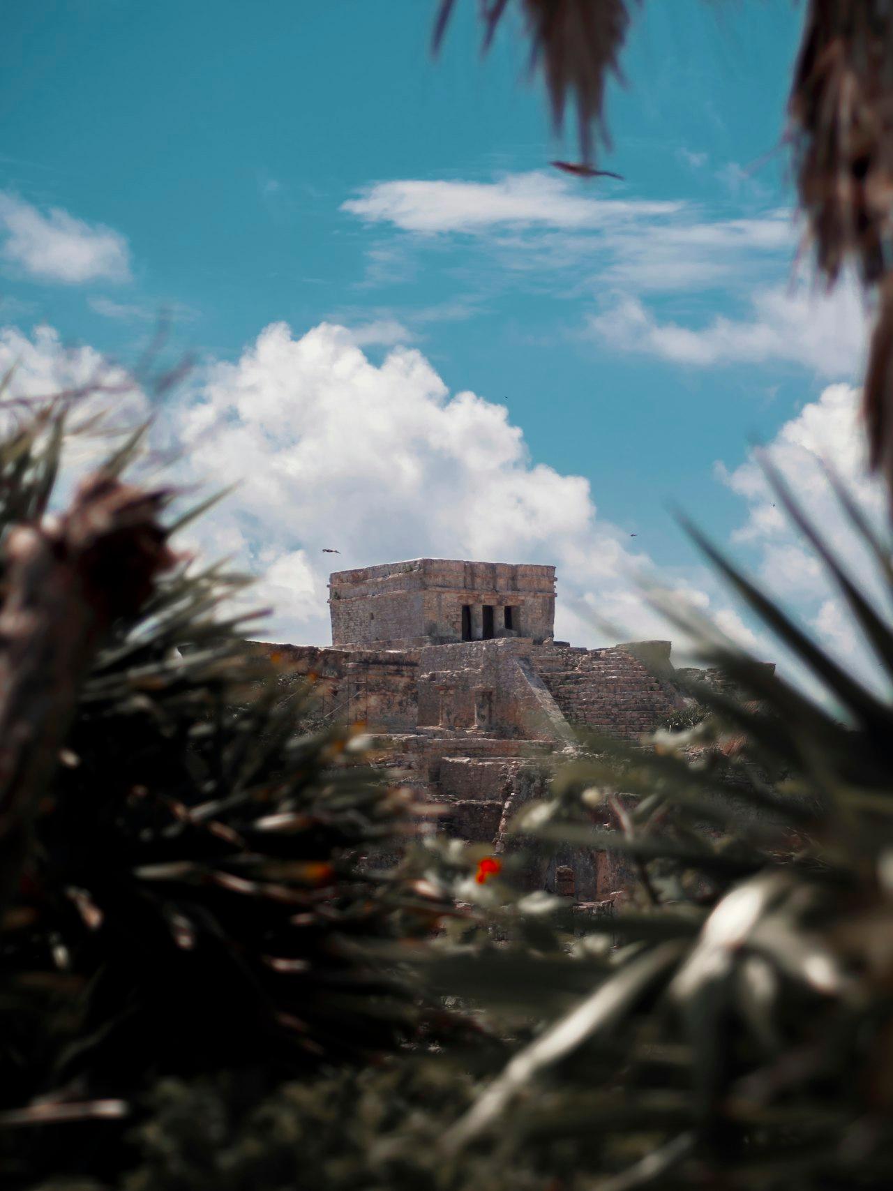
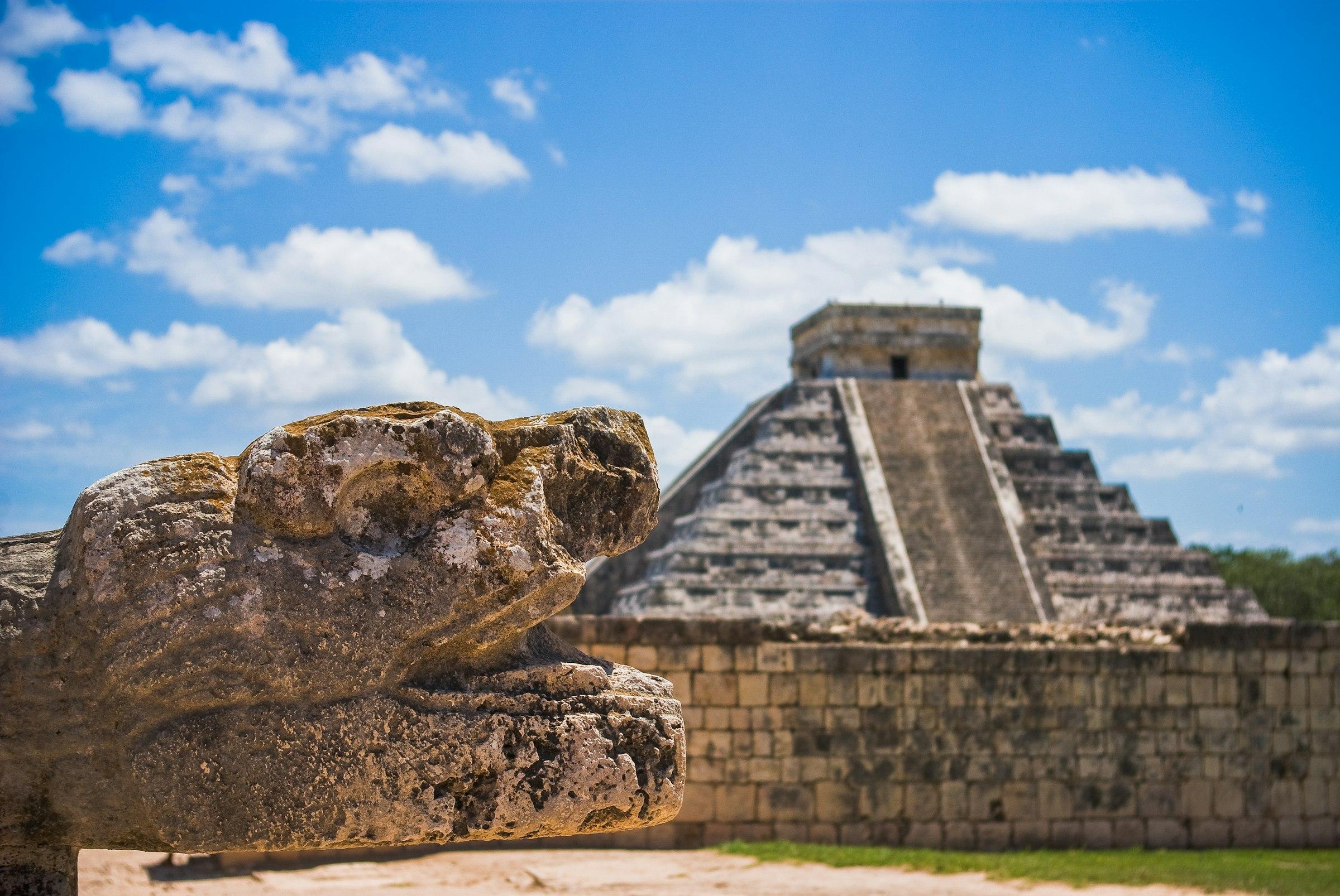
The main building is El Castillo, also called the Temple of Kukulcán. It is much more than a beautiful pyramid: it works as a stone calendar. Each of its four sides has a staircase, and the steps plus the top platform add up to three hundred sixty-five, the number of days in the solar year. During the spring and autumn equinoxes, the afternoon light casts a series of triangular shadows on the north staircase that look like the body of a serpent descending to the carved head at the base. Climbing the pyramid has not been allowed for years, to protect it.
Close by is the Great Ball Court, the largest in Mesoamerica, with tall walls and two stone rings high up through which players tried to pass a rubber ball without using their hands. The acoustics are remarkable: a clap at one end can be heard clearly at the other, and the guide almost always demonstrates it. The reliefs along the base show scenes of the game and its ritual character, which went far beyond sport.
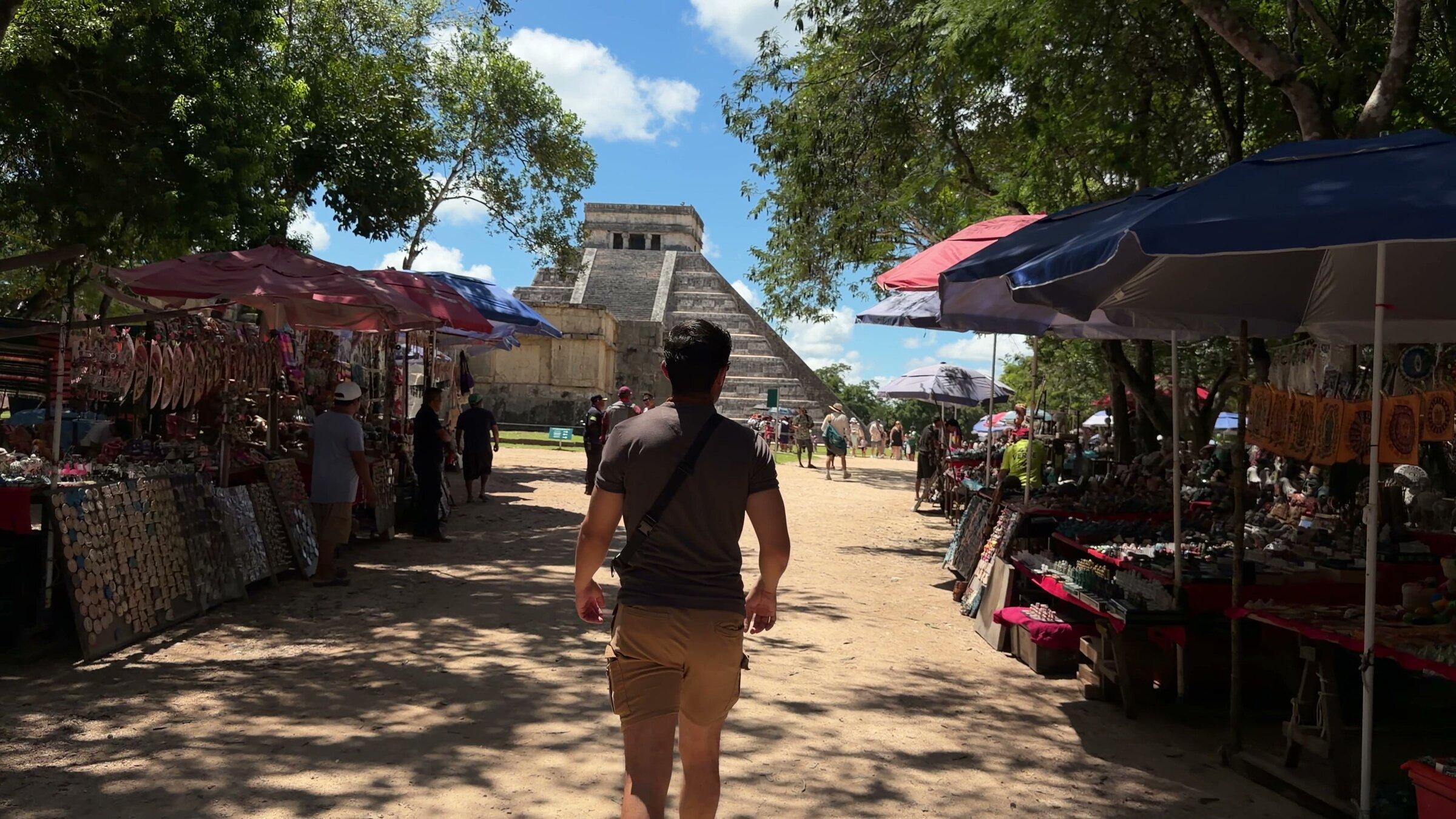
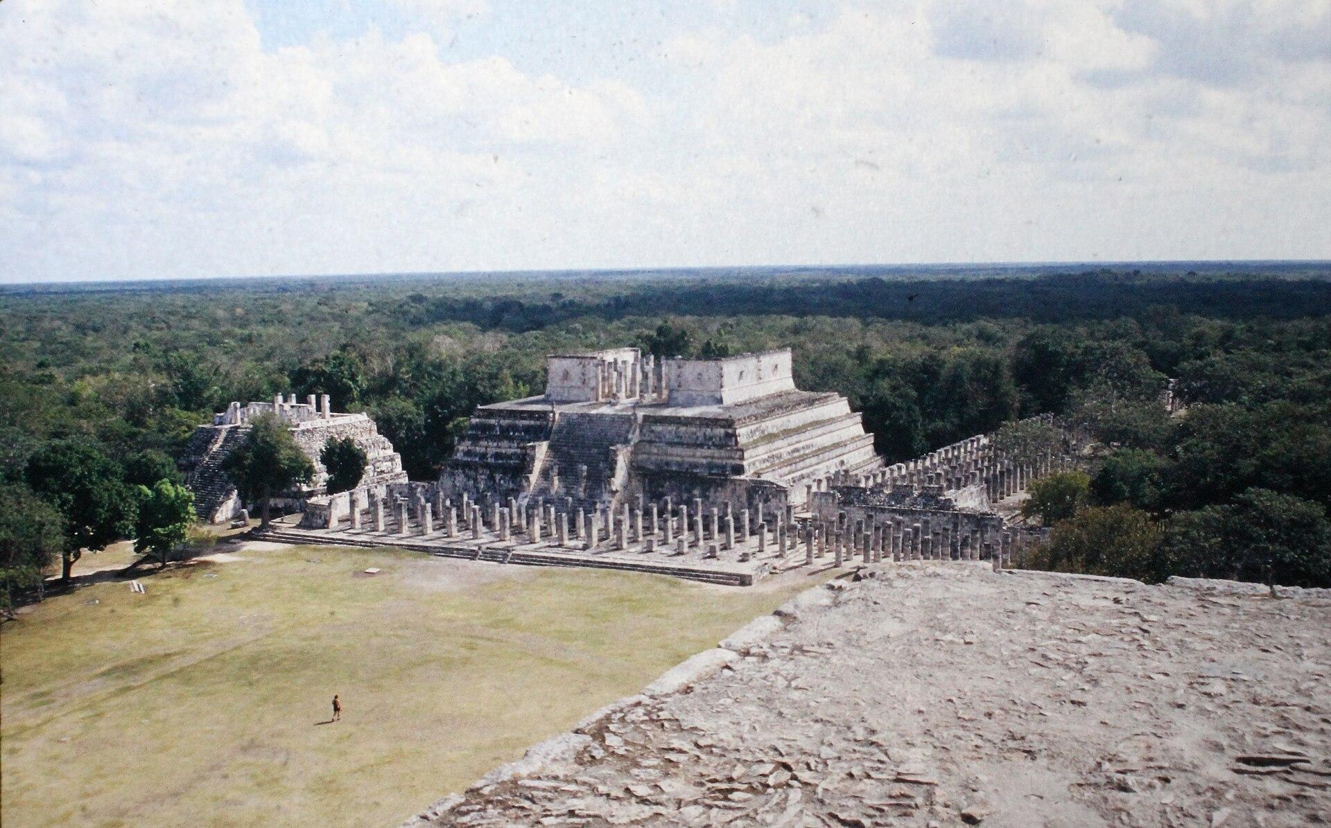
The visit is completed by the Temple of the Warriors, with its forest of carved columns known as the Group of a Thousand Columns, the skull platform or Tzompantli, and the dirt path leading to the Sacred Cenote. On our tour, a guide explains the site and then you have free time to explore at your own pace. There is little shade and the midday sun is strong, so a hat, water and sunscreen are not optional.
A little further south stands El Caracol, a round building on a tall platform that archaeologists interpret as an astronomical observatory. Its name, "the snail", comes from the spiral staircase inside, and its small windows appear to be aligned with key positions of the sun and Venus on the horizon. For the Maya, tracking the movement of the heavens was no curiosity: it set the farming calendar, the ceremonies and political decisions. Pausing for a few minutes in front of El Caracol, after seeing the serpent of Kukulcán, helps you understand how much this city was built looking at the sky.
Cenote Ik Kil: a swim after the pyramid
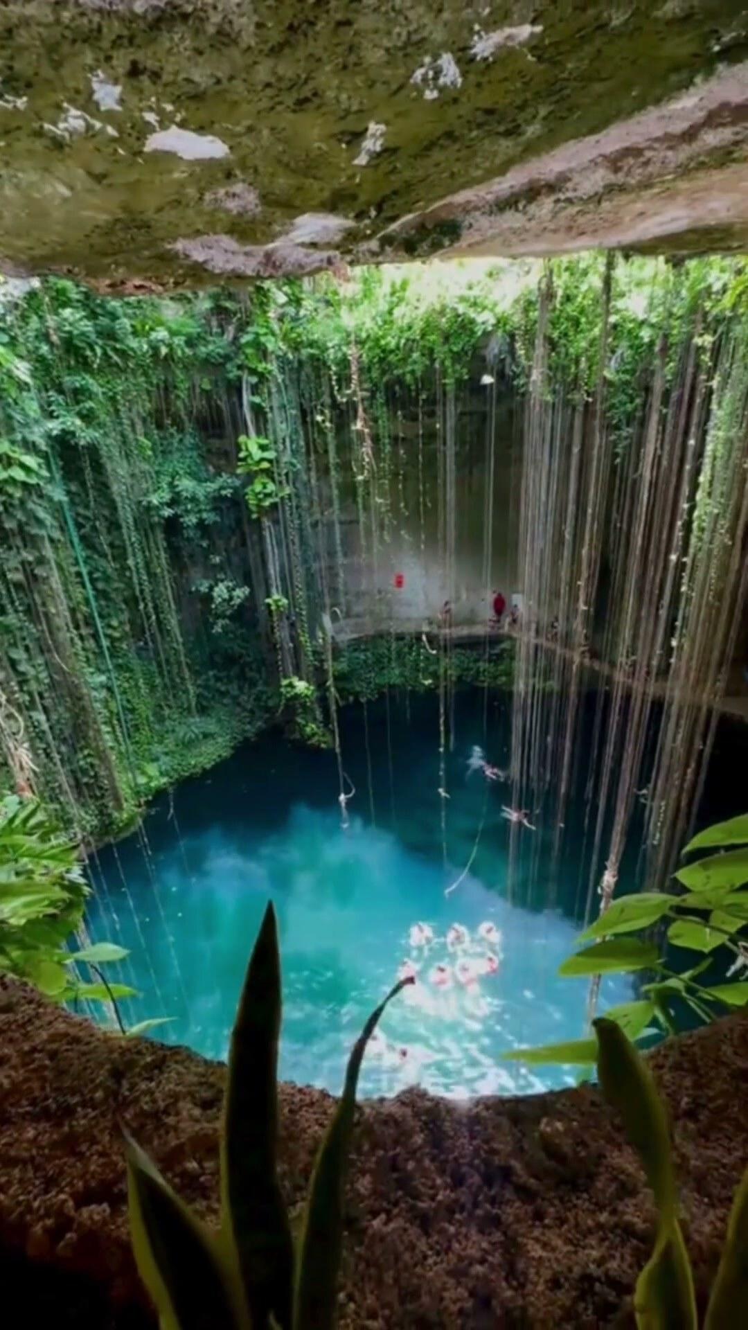
After Chichén comes lunch, a buffet of regional cooking, and then Ik Kil, a few kilometers from the archaeological site. Unlike Suytún, Ik Kil is an open cenote: a circular sinkhole about sixty meters across, with nearly vertical walls dropping more than twenty meters from ground level to the water. Long roots and vines hang from above almost to the surface, and in the rainy season small waterfalls run down the walls.
You descend a staircase carved into the rock that winds around the wall, and as you go down the temperature drops and the noise from above fades. At the bottom, the sky looks like a perfect circle. The water is deep and cool, and swimming there after hours in the sun at Chichén is, for many, the best moment of the day. There is a platform for jumping in, and the life vest is included in the tour.
Showering before getting in is mandatory to rinse off sunscreen, repellent and lotions, which pollute the cenote and affect the small fish that live in it. If you want to store your things, optional lockers cost about a hundred pesos. Ik Kil is one of the most visited cenotes in the area, so there can be people, but its size means it never feels crowded in.
Valladolid: the town to end the day
Valladolid was founded by the Spanish in the sixteenth century on top of the ancient Maya city of Zací, and it is one of Yucatán’s "Pueblos Mágicos". Its history has important chapters: some of the most intense episodes of the Caste War began here in the nineteenth century, and in 1910 an uprising broke out that many consider one of the first sparks of the Mexican Revolution. Today it is a quiet town of straight streets, colorfully painted colonial houses and a life that revolves around its main square.
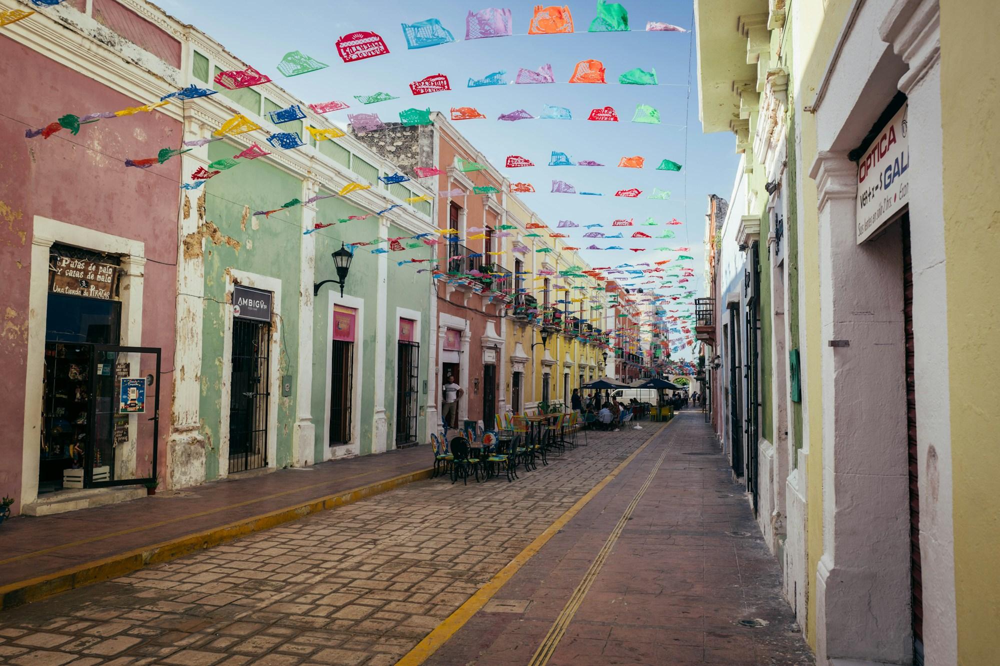
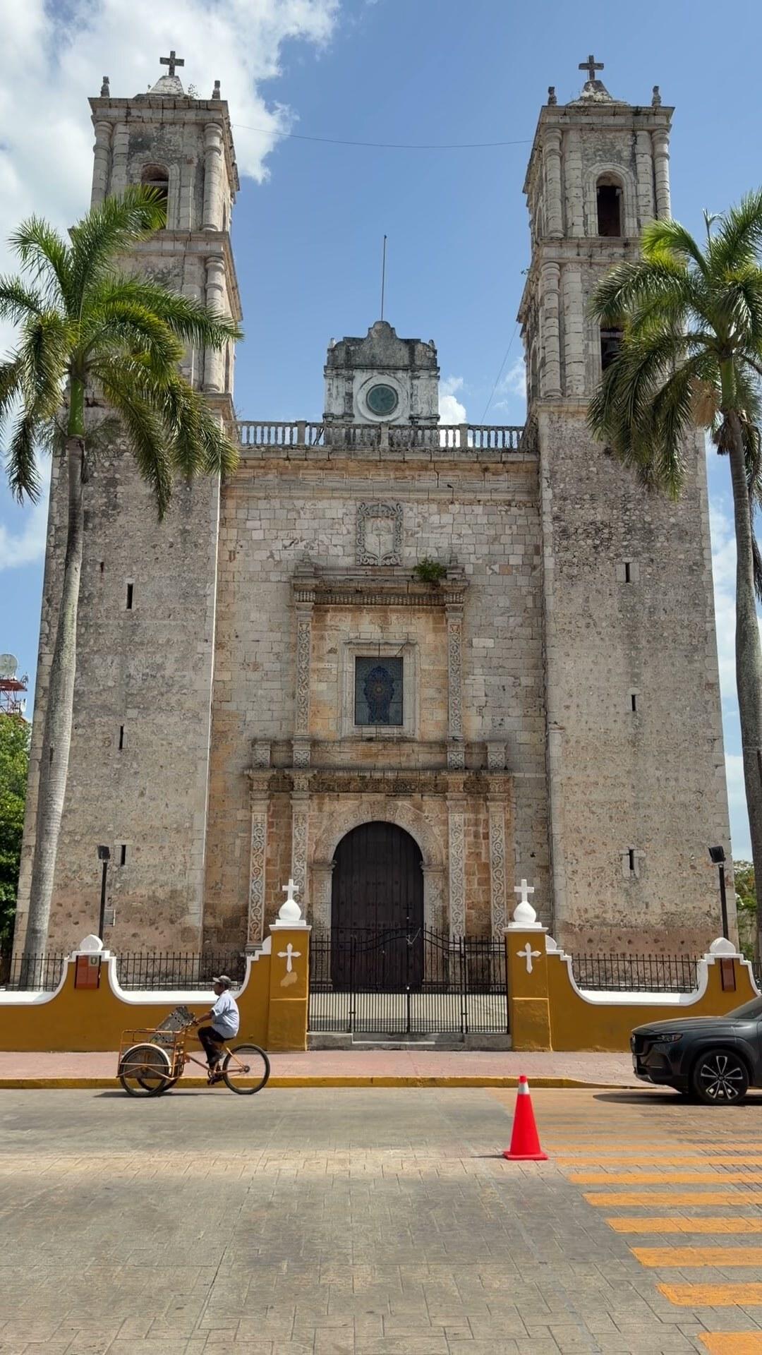
Facing the square is the church of San Servacio, also known as San Gervasio, with its simple facade and two towers. From the center runs the Calzada de los Frailes, one of the most photographed streets in Yucatán, lined with colorful houses, shops, cafés and papel picado strung from side to side. At the end of the street stands the sixteenth-century convent of San Bernardino de Siena, with thick walls and a calm atmosphere that contrasts with the bustle of the center.
On our tour you have free time in Valladolid before heading back, and it is a good moment to try something local: a marquesita, the crisp rolled wafer filled with Edam-style cheese and caramel or Nutella; a popsicle or ice cream made from regional fruits like soursop or mamey; or a snack of longaniza de Valladolid, the smoked sausage the town is known for. There are also craft shops, embroidery and hammocks, and the center is small enough to explore without hurrying.
One detail that surprises many visitors is that Valladolid has a cenote right in the center, a few blocks from the square: Cenote Zací, the same one that gave its name to the Maya city on which the town was founded. It is a semi-open cenote, with a large rock vault, stalactites and deep dark water, surrounded by vegetation and with a restaurant up above. Although it is not one of the tour stops, if you are curious you can take a look during free time and see it from the viewpoint. It is the best proof of what we explained at the start: in Yucatán, cities were born where the water was.
How the day runs, from start to finish
It is a long day, about twelve hours, and it is worth knowing that beforehand. We pick you up early at your hotel in Cancún, Playa del Carmen or Tulum, and the first stretch of road is the longest. The first stop is Suytún; then Chichén Itzá with a guide and free time; then lunch, a regional buffet; in the afternoon Ik Kil; and finally Valladolid, before returning to your hotel after dark. Drinks during the tour are included.
The order is not random. Suytún early avoids the lines; Chichén with the sun high lets you see it in good light; Ik Kil after lunch and walking is exactly when cool water is most welcome; and Valladolid at dusk is when the town looks its best, with warm light on the facades and people coming out to the square. Children aged zero to two ride free on an adult’s lap, and for little ones it helps to bring something to sleep on during the drive back.
Practical tips to make the most of it
Wear your swimsuit or keep it handy, and bring a light towel, biodegradable sunscreen, a hat, sunglasses and cash for extras, tips and the locker if you want one. Sandals with grip for the cenotes and comfortable sneakers for walking at Chichén make the day much easier. A change of dry clothes in a bag is welcome after swimming, especially for the final stretch in Valladolid and the drive back.
Drink water throughout the day, even if you do not feel thirsty: between the road, the sun at Chichén and the Yucatán heat, it is easy to get dehydrated. Leave space on your phone, because between the light in Suytún, the staircase of Kukulcán and the roots of Ik Kil you will take more photos than you plan. And if you can, save some energy for Valladolid: it is the stop most people underestimate and the one many end up remembering most fondly.
Chichén Itzá explains who the Maya were and how far their knowledge of the sky and of time reached. The cenotes explain why they built right there, in a land without rivers where water lay beneath the stone. And Valladolid shows how people live on that same land today, among colonial churches, Maya surnames and marquesitas in the square. Seeing them together, in a single day, is understanding Yucatán a little better.
Your next experience starts here
Start this adventureTours you might like
- Archaeology
Chichén Itzá Plus: Suytún & Ik Kil Cenotes and Valladolid
- Archaeology
Chichén Itzá Classic: Saamal Cenote and Valladolid
- Adventure
Tulum, Akumal Turtles & ATVs at Casa Jaguar
- Archaeology
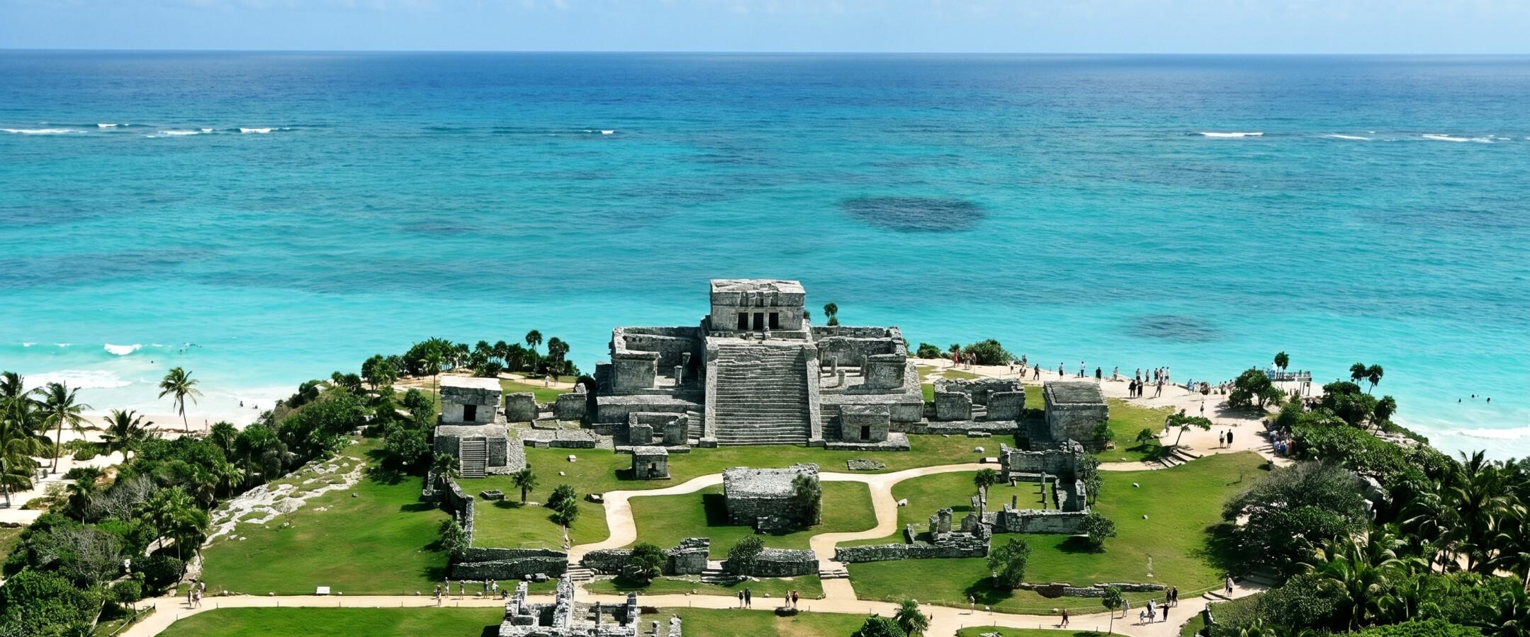
Tulum Express: Ruins and Santa Fe Beach
- Archaeology
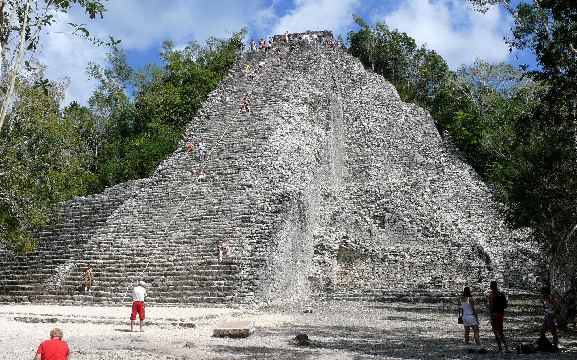
Tulum and Cobá 4-in-1: Ruins, Cenote and 5th Avenue
- Ocean
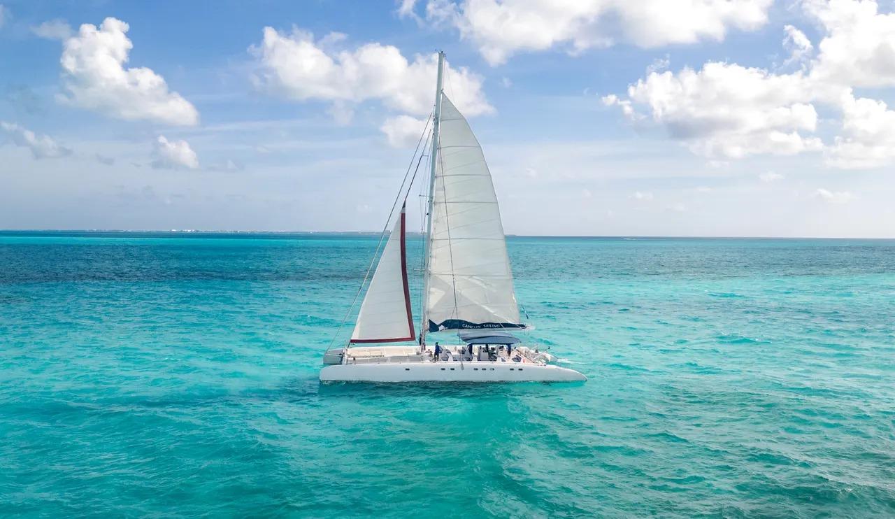
Isla Mujeres Plus: Catamaran with Open Bar, Snorkeling & Playa Norte

Places in this story
Keep reading
 guides
Chichén Itzá: the guide to not regretting the trip
How to arrive before anyone else, what to see beyond El Castillo, and why the Sacred Cenote is the second most important place on the site that almost nobody visits properly.
 guides
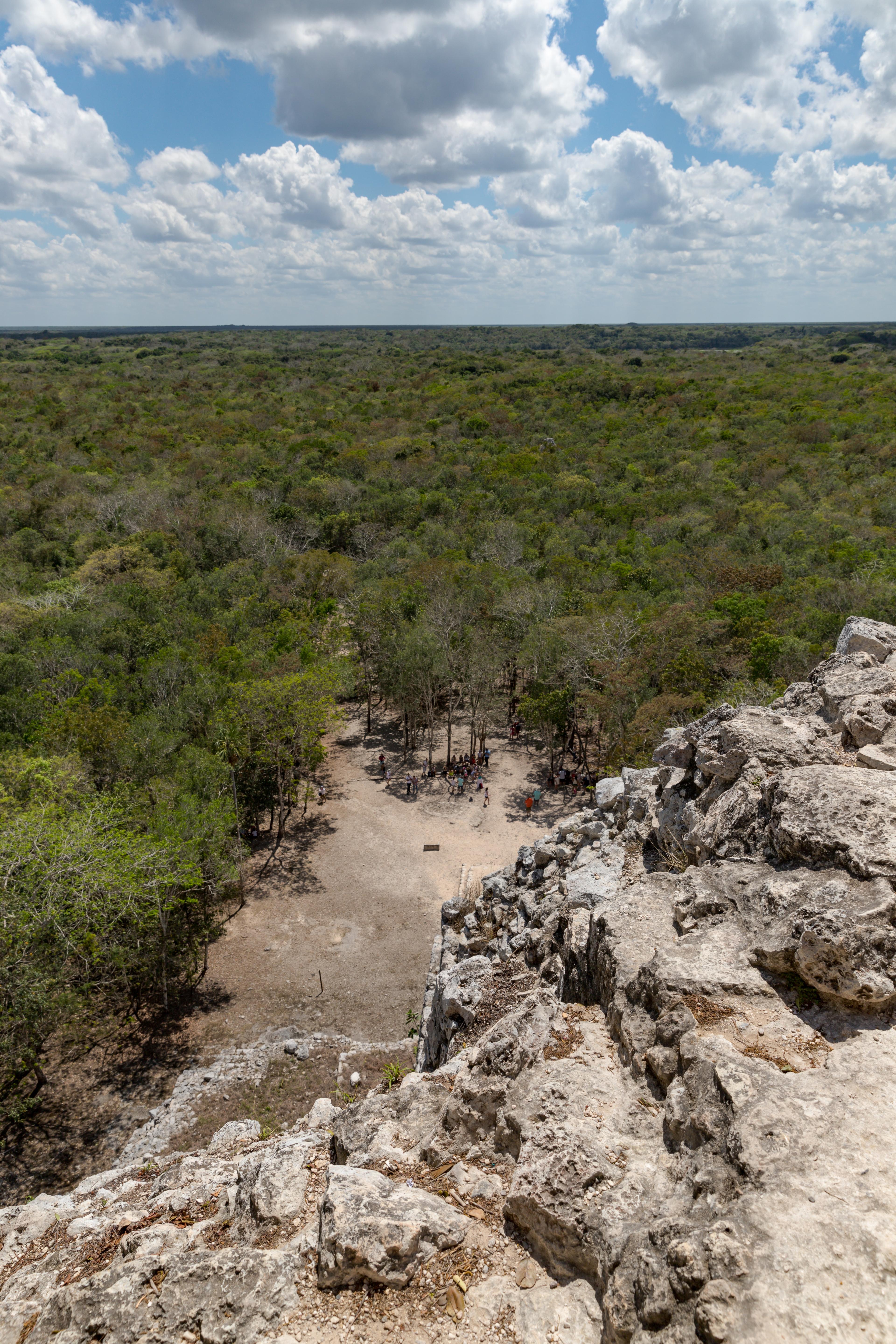
Cobá Ruins: The Complete Guide to Nohoch Mul, Punta Laguna and the Cenotes
Everything the Cobá ruins actually involve today: cycling between jungle temple groups, climbing Nohoch Mul now that it has reopened, spotting wild spider monkeys at Punta Laguna, and cooling off in a cave cenote.
 stories
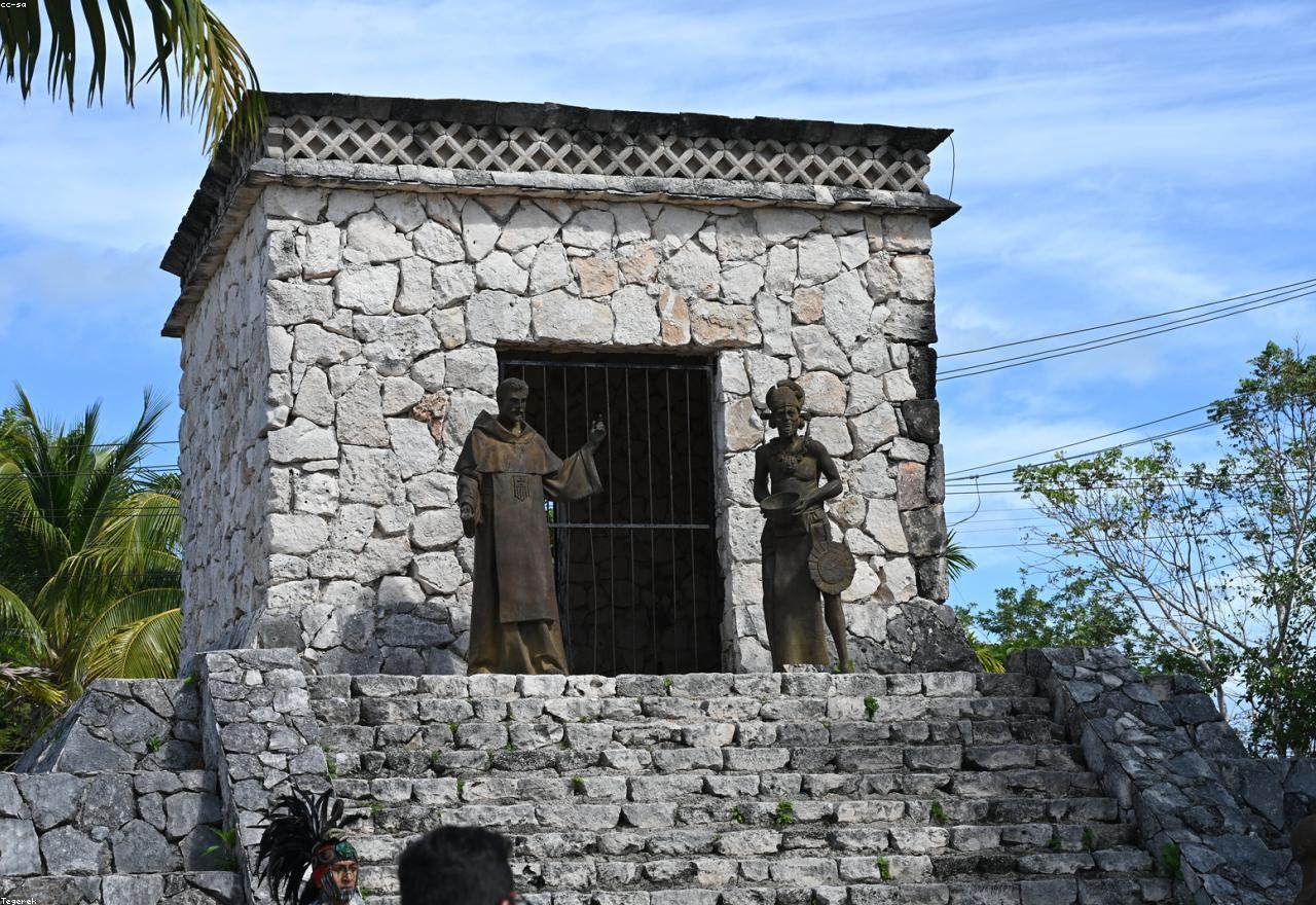
The real Tulum: what nobody photographs
Everyone knows the ruins on the cliff and the turquoise sea. But there is another Tulum that barely appears in travel stories. Here is where to find it.
Plan your trip
 4 days
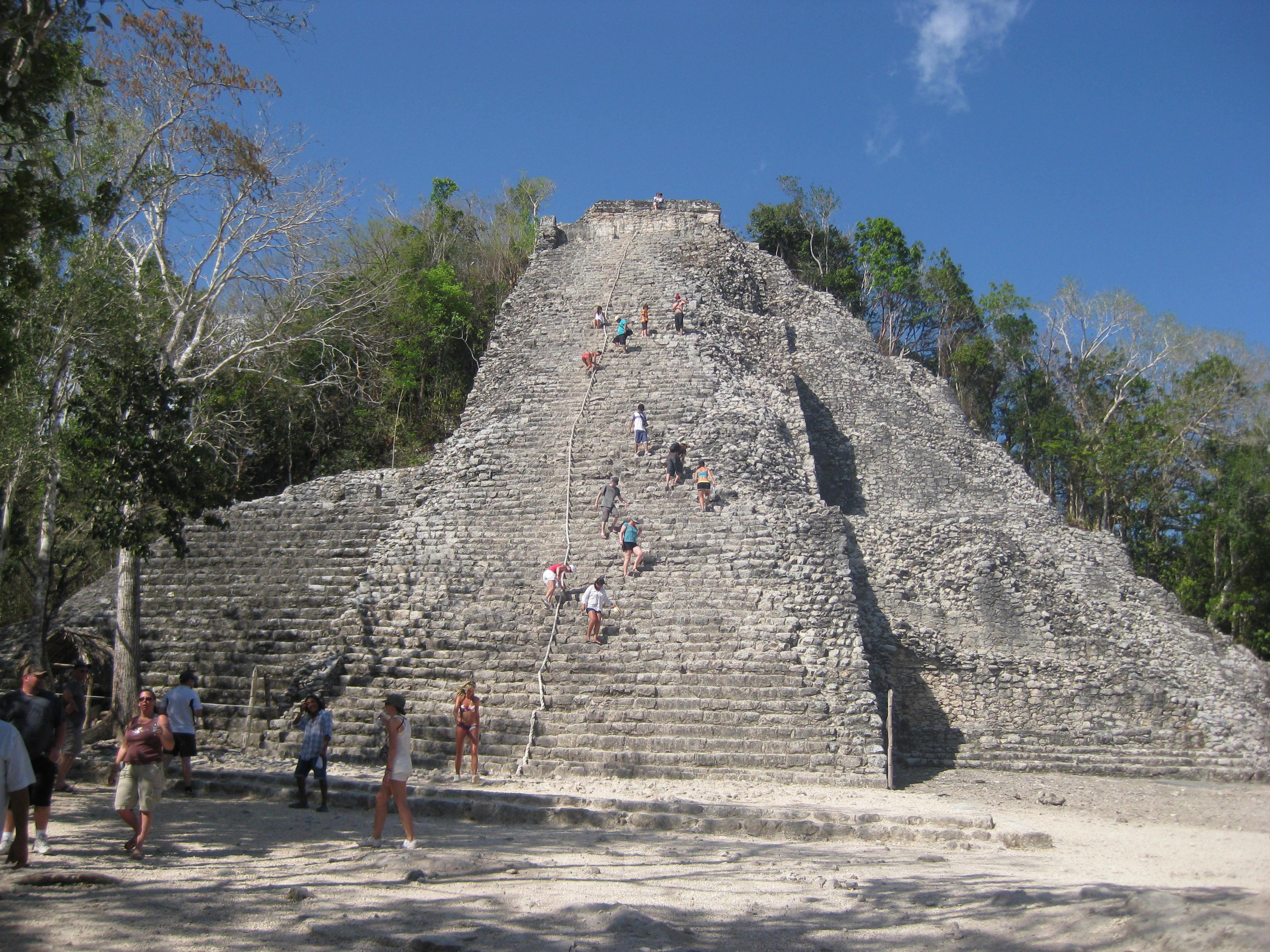
Maya Ruins of the Riviera Maya: A 4-Day Itinerary
A 4-day Riviera Maya itinerary through four Maya cities, Tulum, Cobá, Chichén Itzá and Ek Balam, spanning six centuries of the same civilization, and closing at Ek Balam beside the living Maya village that still runs it.
 5 days
5 Days in the Riviera Maya: The Complete Itinerary
A realistic 5 days Riviera Maya itinerary that starts easy, builds toward Chichén Itzá as the trip’s centerpiece and closes on a festive night, with real timing and logistics for every day.
 7 days
7 Days in the Riviera Maya: A North to South Route
A 7-day Riviera Maya itinerary built as a route, not a base: three nights in Playa del Carmen for Cozumel and Chichén Itzá, then four in Tulum for the cenotes, Cobá, Sian Ka’an and the lagoon at Bacalar.