

Sian Ka'an Biosphere Reserve: the complete guide to Tulum's wild side
Everything worth knowing about the Sian Ka'an Biosphere Reserve before you go: the Maya canal float, the Muyil ruins, the wildlife, Punta Allen, and how a visit to this UNESCO site near Tulum actually works.
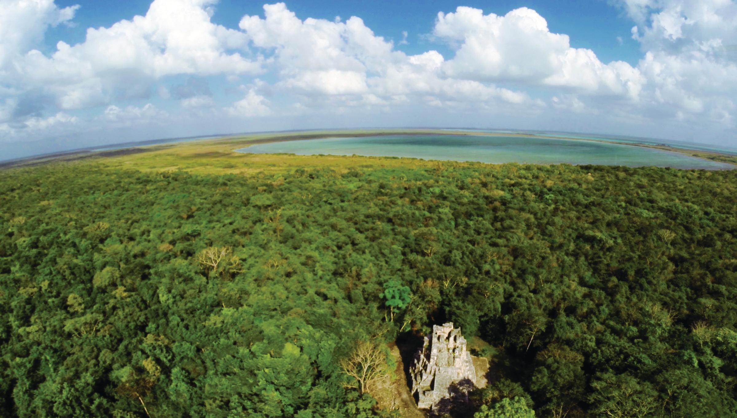
About twenty minutes south of Tulum on Highway 307, the paved road ends and the landscape changes entirely. Pavement turns to packed dirt, the jungle closes in over the track, and the air starts to smell of salt water and wet leaves. That is the entrance to the Sian Ka'an Biosphere Reserve, the largest protected natural area in the Mexican Caribbean and one of the few places left on the peninsula where you can spend an entire day without seeing a single building. In Yucatec Maya, the name means "where the sky is born" or "origin of the sky," and one afternoon drifting through its canals is enough to understand why the ancient Maya chose those words for it.
What Sian Ka'an actually is, and why it is protected
Sian Ka'an was declared a biosphere reserve in 1986, and a year later, in 1987, UNESCO inscribed it as a World Heritage Site. The original decree covered roughly 528,000 hectares, about 408,000 of land and 120,000 of ocean. With the adjoining protected areas added later (the Sian Ka'an Reefs and Uaymil), the total protected surface today runs close to 617,000 hectares, nearly 15 percent of the entire state of Quintana Roo. To put that in perspective, it is larger than greater Mexico City.
What sets Sian Ka'an apart is not just its size but how many ecosystems overlap inside a single boundary: semi-evergreen tropical forest, seasonally flooded savannas, freshwater wetlands, dense mangrove forest, and, along its coastline, a stretch of the Mesoamerican Reef, the second-longest barrier reef system on Earth after Australia's Great Barrier Reef. That combination of jungle, wetland and reef inside one reserve is, by UNESCO's own criteria for the designation, essentially unmatched. Mexico's National Commission for Natural Protected Areas (CONANP) manages the reserve alongside local communities, many of them former fishing cooperatives that now also work as certified guides.
A biosphere reserve is not just a scenic label, it is an actual management model, part of UNESCO's Man and the Biosphere Programme, which divides territory into strictly protected core zones with very limited access and buffer zones where low impact human activity, regulated fishing, beekeeping, permitted tourism, is allowed to continue. Sian Ka'an is also a Ramsar site (a wetland of international importance) as of 2003, a separate designation that specifically recognizes the value of its mangroves and marshes for migratory waterbirds. The biodiversity numbers back up every one of those labels: more than 850 species of vascular plants, over 100 mammal species, upward of 400 fish species, and more than 1,700 recorded invertebrates, at least 20 of which are insect species new to science, meaning they were unknown anywhere else on the planet before being described here.
Floating the Maya canals: the experience that defines a visit
It helps to have a rough mental map before arriving: the reserve sits directly south of Tulum, bounded by the Caribbean to the east, and is reached almost entirely through two access points, the Muyil entrance off Highway 307 for the lagoons and canals, and the much longer Boca Paila road for anyone continuing on to Punta Allen. Most day tours never leave the Muyil side, which is exactly where the canal float, the ruins and the bulk of the wildlife viewing happen.
At the center of almost every trip into Sian Ka'an is a stretch of water that, at first glance, looks like a lazy jungle river running between walls of mangrove. It isn't one. It is a system of canals the Maya carved by hand more than a thousand years ago to move goods, salt, honey, cacao, obsidian, between Laguna Muyil and the open Caribbean, cutting out a long overland detour through the forest. Today those same freshwater, crystal clear canals produce a gentle, steady current that carries you along in a life vest, no swimming or paddling required.
The float itself runs 30 to 45 minutes depending on the entry point and conditions that day, moving between red and white mangrove so dense in places that almost no direct sun reaches the water. Visibility is good enough to see the limestone bottom, small fish, and occasionally a cormorant diving nearby. Because this is core zone of the reserve, the activity can only be done with a federally permitted operator; it is not something you can arrange on your own, and that restriction is, honestly, a big part of why the canals have stayed this pristine.
The logistics are simple but the rules are fixed, and it is worth knowing them before getting in the water. A life vest is mandatory for the entire float, a dry bag is strongly recommended for a phone or camera since the entry and exit points sit several hundred meters apart with no way to retrieve anything dropped along the way, and sunscreen has to be reef safe and biodegradable, since standard chemical filters damage both the mangrove and the reef downstream. Anyone who has done this more than once tends to say the same thing: nothing else on the Riviera Maya feels quite like it. No engine, no paddle, just the current and the mangrove closing overhead in silence.
Muyil, the Maya city that measured the sky
Before anyone gets in the water, most tours stop first at Muyil, also called Chunyaxché, one of the oldest and longest continuously occupied Maya settlements on the entire eastern coast of the peninsula. Archaeological records place its occupation from around 350 BCE all the way to Spanish contact, nearly two thousand years of near uninterrupted habitation, unusually long for a coastal Maya site, many of which were abandoned centuries earlier.
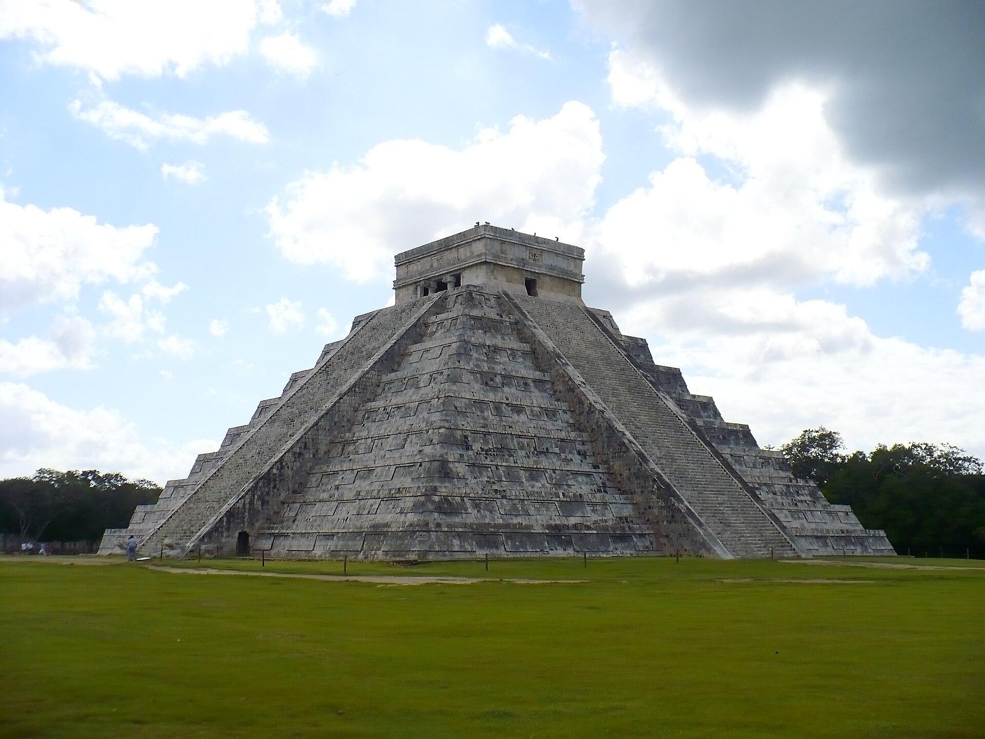
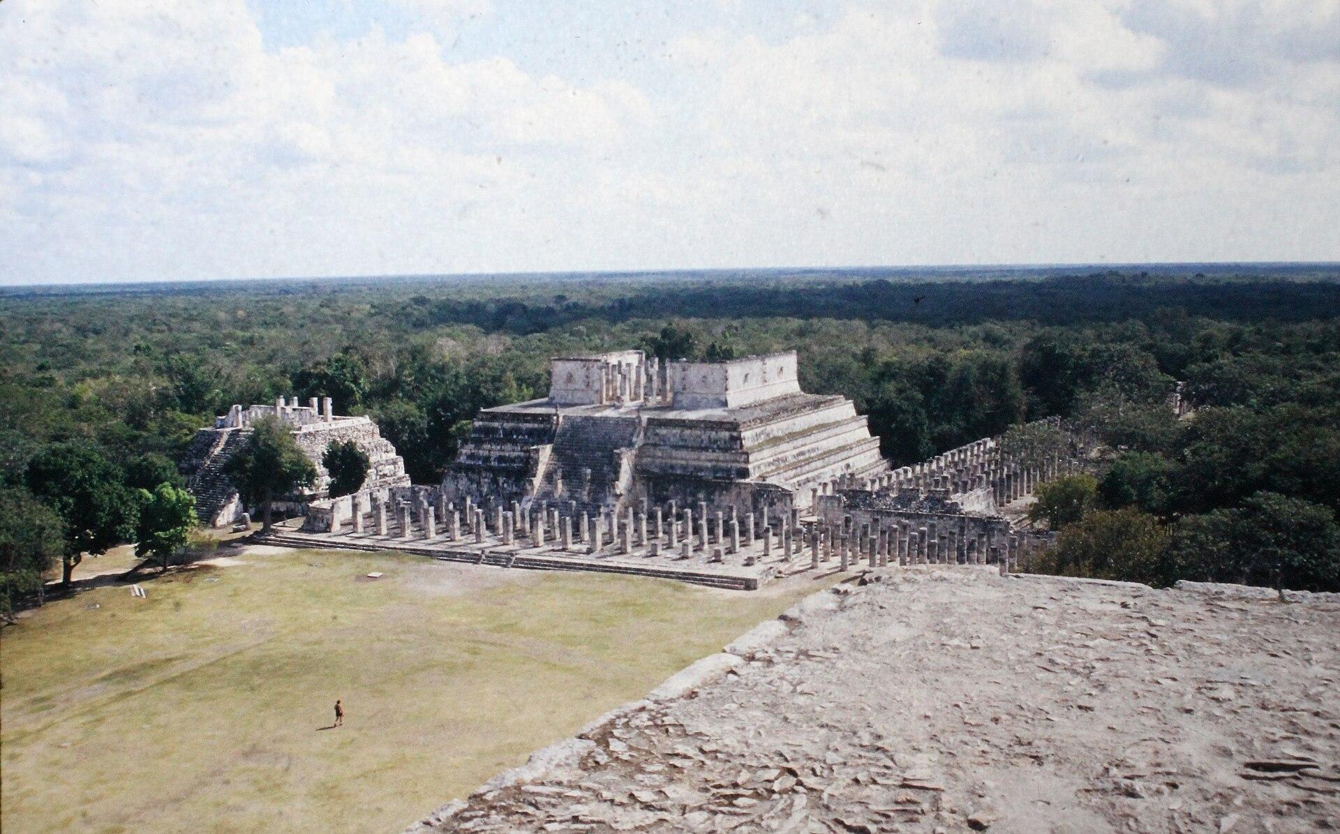
The main structure, known as El Castillo, stands 17 meters tall, making it one of the tallest pre-Hispanic buildings on the entire Mexican Caribbean coast, barely visible above the surrounding canopy. A raised wooden boardwalk connects the plaza area to an observation tower that clears the treeline entirely, opening onto Laguna Muyil and Laguna Chunyaxché, two turquoise lagoons stretching off into the green of the reserve. It is arguably one of the best panoramic views in all of Quintana Roo, and very few travelers ever see it.
Muyil was never an isolated settlement, it functioned as a node in a trade network that linked the interior of the peninsula to the sea. Its position beside the lagoon, with direct access to the canals running out to the Caribbean, made it a required stop for coastal Maya trade, a role it shared, on a smaller scale, with sites like Tulum, though Muyil today receives only a fraction of the visitors that walk through the seaside ruins. That much lighter foot traffic is a large part of why it still feels like a discovery: it is common to walk the main plaza and the raised boardwalk almost entirely alone, something close to impossible now at Tulum or Chichén Itzá.
The wildlife you will actually see, and the wildlife you will just know is there
Sian Ka'an has more than 300 recorded bird species, making it one of the most significant birding destinations in Mexico. A single boat trip commonly turns up kingfishers, several species of heron, cormorants, and, with some luck, the great curassow or a Yucatan jay, a bird found nowhere outside the peninsula. Flamingos show up seasonally in some of the shallower lagoons as well.
It is worth remembering that all of this happens inland from the coast, away from the section of Sian Ka'an that runs along the Mesoamerican Reef. Boat access to that offshore stretch is far more limited than the lagoon and canal side of the reserve, largely because it falls under an even stricter protection regime, so most standard tours from Tulum stay focused on Muyil, the lagoons and the canals rather than venturing out to the reef itself. That division ends up working in the reef's favor: less boat traffic and far fewer visitors than the snorkeling sites off Cozumel or Akumal.
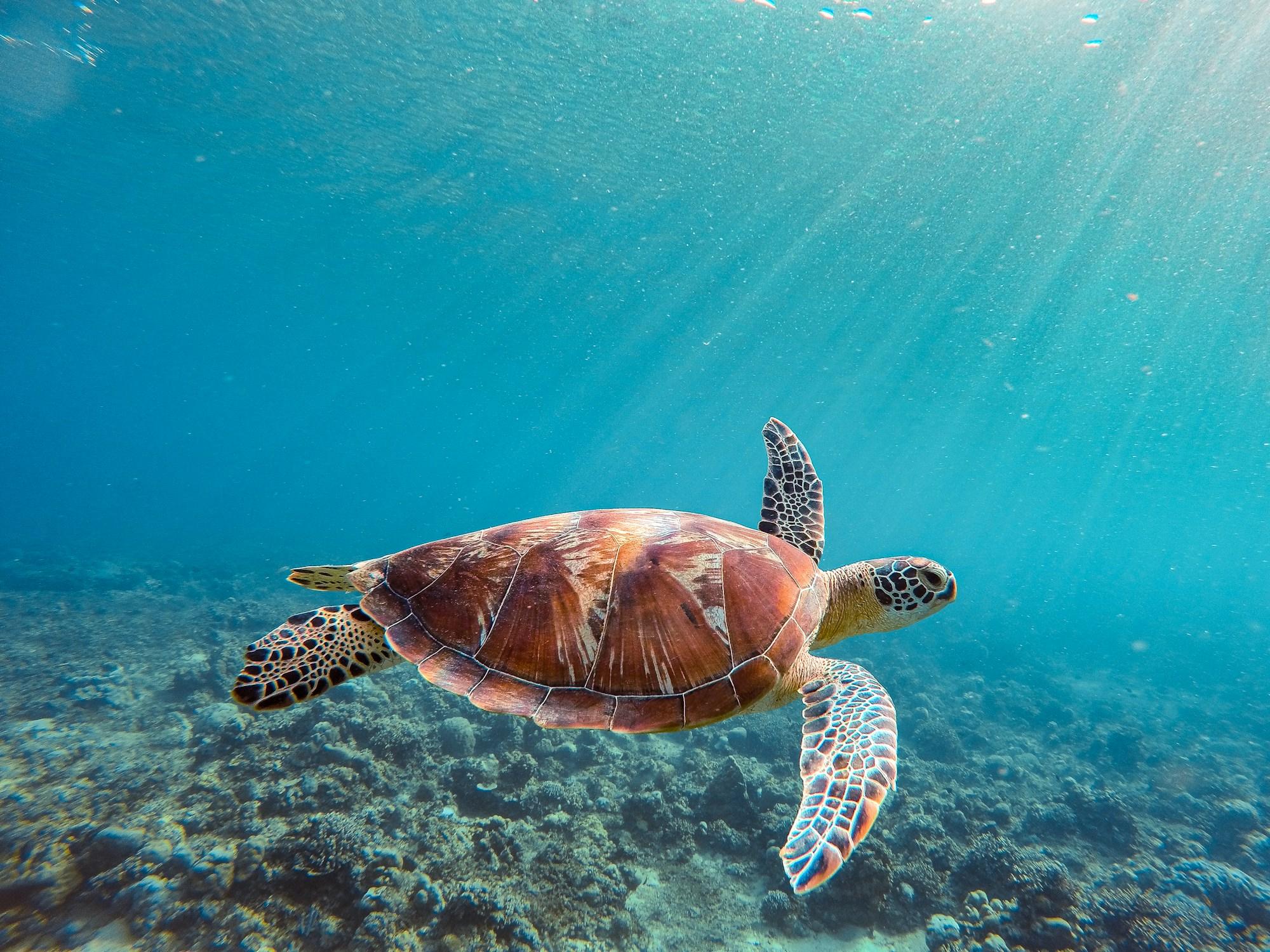
On the water, the two sightings people ask about most are manatees, elusive and never guaranteed, and crocodiles, most reliably spotted near the Boca Paila bridge, a well-known viewing point at dusk from a safe distance. The beaches along the reserve's southern stretch host nesting loggerhead, green and hawksbill turtles through the summer. Then there is the wildlife almost nobody sees but that quietly defines the reserve's ecological weight: jaguars, pumas, ocelots and tapirs live in Sian Ka'an's forest interior. They are shy, mostly nocturnal animals, so the realistic expectation is tracks in the mud rather than an actual sighting, but knowing they are out there, in one of the last stretches of the Mexican Caribbean with enough intact territory to support them, changes how you walk through the forest.
The biodiversity count does not stop at what you can see from a boat. Sian Ka'an is home to more than 850 species of vascular plants, including orchids and bromeliads that grow as epiphytes on the mangrove branches, and more than 400 fish species spread across its lagoons, canals and coastal waters. Birdwatching, for its part, works best on a schedule: the first two hours after sunrise carry the most activity, with resident species mixing into a dawn chorus alongside migratory birds using the reserve as a stopover on their route between North and Central America, particularly from October through March.
Punta Allen and Boca Paila: the village at the end of the road
Follow the Boca Paila peninsula south for about 50 kilometers of rough, uneven dirt road and you reach Punta Allen, the largest settlement inside the reserve's boundaries. The 2010 census put its population around 469 people, most of them historically tied to spiny lobster fishing through one of the oldest fishing cooperatives in the region, a community-managed model credited with preventing the kind of overfishing that has hit lobster stocks elsewhere in the Caribbean.
Today Punta Allen pairs that fishing economy with small, low-impact tourism: simple guesthouses, palapa restaurants serving lobster straight off the boat, and some of the best bonefish and permit fly fishing flats in the entire Caribbean. There is nothing resembling a resort. In a lot of ways, it is the exact counterpoint to what has happened along the Riviera Maya tourist corridor over the past two decades, and for anyone curious what this coastline looked like before large scale development, that contrast is worth the drive on its own.
There are two ways to reach Punta Allen: the 50 kilometer dirt road from the reserve's southern entrance, which can take anywhere from an hour and a half to two hours depending on the rainy season, or a much shorter boat crossing from the northern side of the bay, the option most organized tours rely on. Spiny lobster fishing is regulated by an official closed season, generally shut from March through June to protect reproduction, so whether the local restaurants' signature dish is on the menu depends on exactly when in the year you show up.
When to go, and what an actual visit to Sian Ka'an looks like
The dry season, November through April, brings the clearest water, the least rain, and the best visibility for both the canal float and wildlife spotting. The rainy season, May through October, brings near daily afternoon showers, and August through October overlaps with the peak of Atlantic hurricane season, so it is worth keeping travel dates flexible if visiting during that window.
You can walk into the Muyil archaeological zone on your own, paying separate access fees for the reserve trail and the ruins themselves (roughly 70 to 95 pesos combined), but any water-based activity, whether the canal float or the lagoon boat ride, requires booking with an operator holding a federal concession, since those areas sit inside the reserve's core zone and independent access is restricted to protect the ecosystem. A full trip from Tulum typically runs five to six hours: the drive out (20 to 25 minutes along Highway 307), the Muyil site with its observation tower, a boat ride across the lagoons, and the canal float to finish. Bring reef safe sunscreen (mandatory in the water sections), shoes that can get wet, insect repellent, and cash for entrance fees.
Most operators run two formats: group tours, which leave at fixed times and combine travelers from different hotels, and private tours, with an exclusive vehicle and guide, more flexible timing, and smaller groups, usually a single family or a set of friends traveling together. The difference shows up most during the canal float and wildlife spotting, where a smaller, quieter group has better odds of seeing birds or a crocodile without scaring it off. For families traveling with young kids or older relatives, the private format also allows the pace of the day to bend around the group instead of the other way around.
Why Sian Ka'an matters beyond the scenery
Beyond how striking it is to float through mangroves or watch the sun drop over Laguna Muyil, Sian Ka'an performs an ecological function rarely mentioned in the tour brochures. Its mangroves and wetlands are among the most efficient carbon sinks per hectare on the planet, well ahead of a standard tropical forest, making the reserve a quiet buffer against climate change. That same band of mangrove shields the Tulum and Punta Allen coastline from hurricane surge, and the aquifer running beneath the reserve feeds a large share of the region's cenotes.
The Ramsar designation the reserve received in 2003 underlines the same point from another angle. Sian Ka'an's wetlands do not just store carbon, they also serve as a migratory stopover for dozens of waterbird species crossing the continent each year, and as a nursery for much of the marine life that sustains commercial fishing along the whole coast, both inside and outside the reserve's boundaries.
The other side of it is economic and social. Regulated ecotourism income, channeled through cooperatives and certified operators, has given communities that once depended entirely on fishing a concrete financial reason to keep the forest and lagoon exactly as they are, instead of converting them into something more profitable in the short term. Visiting with an authorized operator, staying on marked trails and channels, and never touching or feeding the wildlife are not just courtesy rules. They are, quite literally, the reason this place is still intact almost forty years after its original designation.
One last practical note, easy to overlook until you are already there: on the water, especially during the float and the lagoon crossing, it helps to lower your voice and put the camera down more often than feels natural. Staying quiet is not just courtesy toward the rest of the group, it is the condition that lets birds, crocodiles or the occasional manatee actually show themselves instead of retreating at the first engine noise or raised voice. Travelers who go in expecting to photograph every minute of it tend to see less wildlife than the ones who just let the current carry them and pay attention.
Floating its canals, walking through Muyil, and getting a look at the wildest corner of Quintana Roo left is, in the end, a way of seeing what this coast can still be when it is given the time to stay itself. A visit with local guides who know the reserve from the inside, through the jungle, the ruins, the lagoon and the canals, is the best way to follow exactly that route.
Your next experience starts here
Start this adventureTours you might like
- Ocean
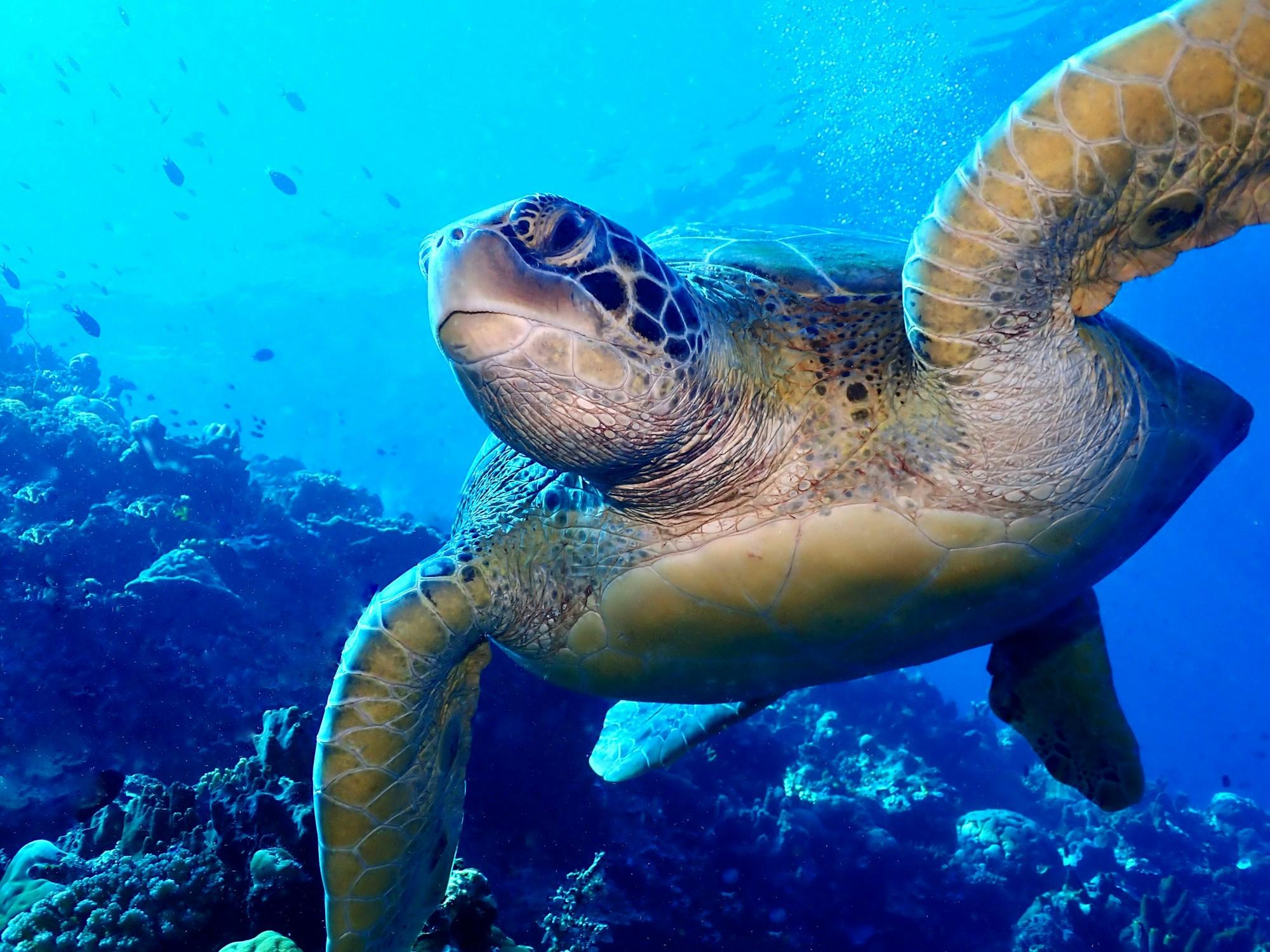
Snorkel with Sea Turtles in Akumal
- Archaeology
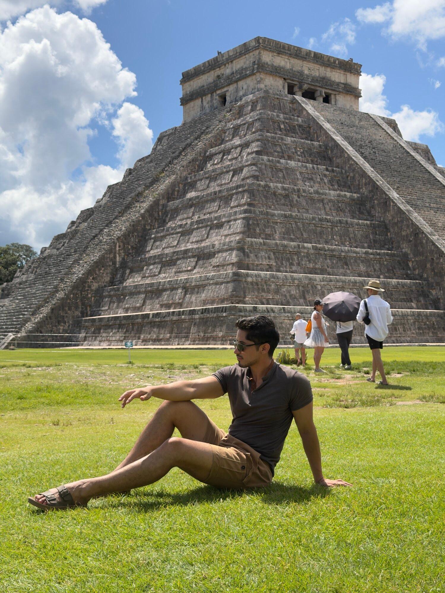
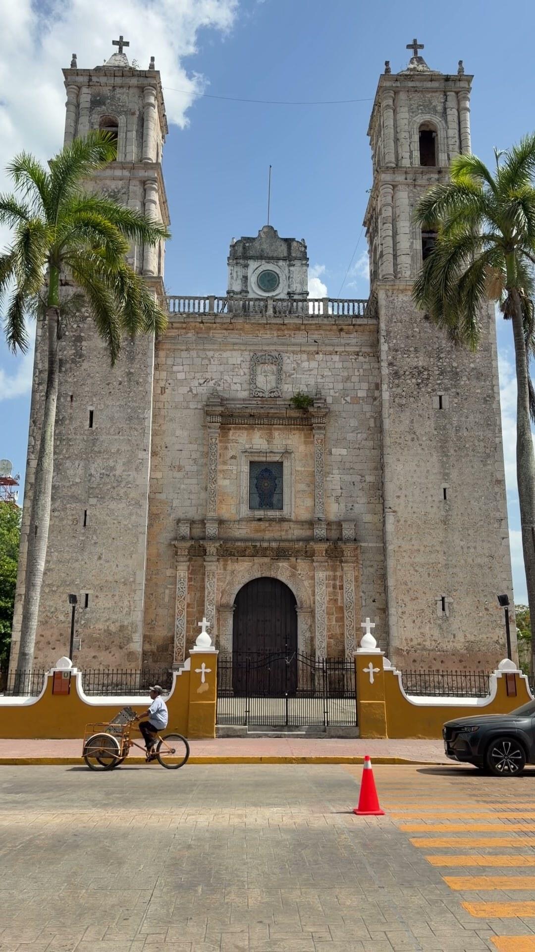
Chichén Itzá Plus: Suytún & Ik Kil Cenotes and Valladolid
- Ocean
Isla Mujeres Plus: Catamaran with Open Bar, Snorkeling & Playa Norte
- Archaeology
Tulum and Cobá 4-in-1: Ruins, Cenote and 5th Avenue
- Archaeology
Chichén Itzá Classic: Saamal Cenote and Valladolid
- Adventure
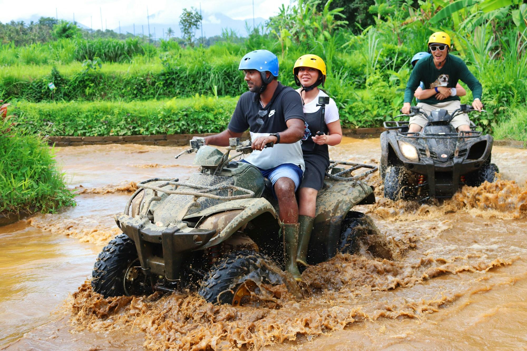
Tulum, Akumal Turtles & ATVs at Casa Jaguar
Places in this story
Keep reading
 guides
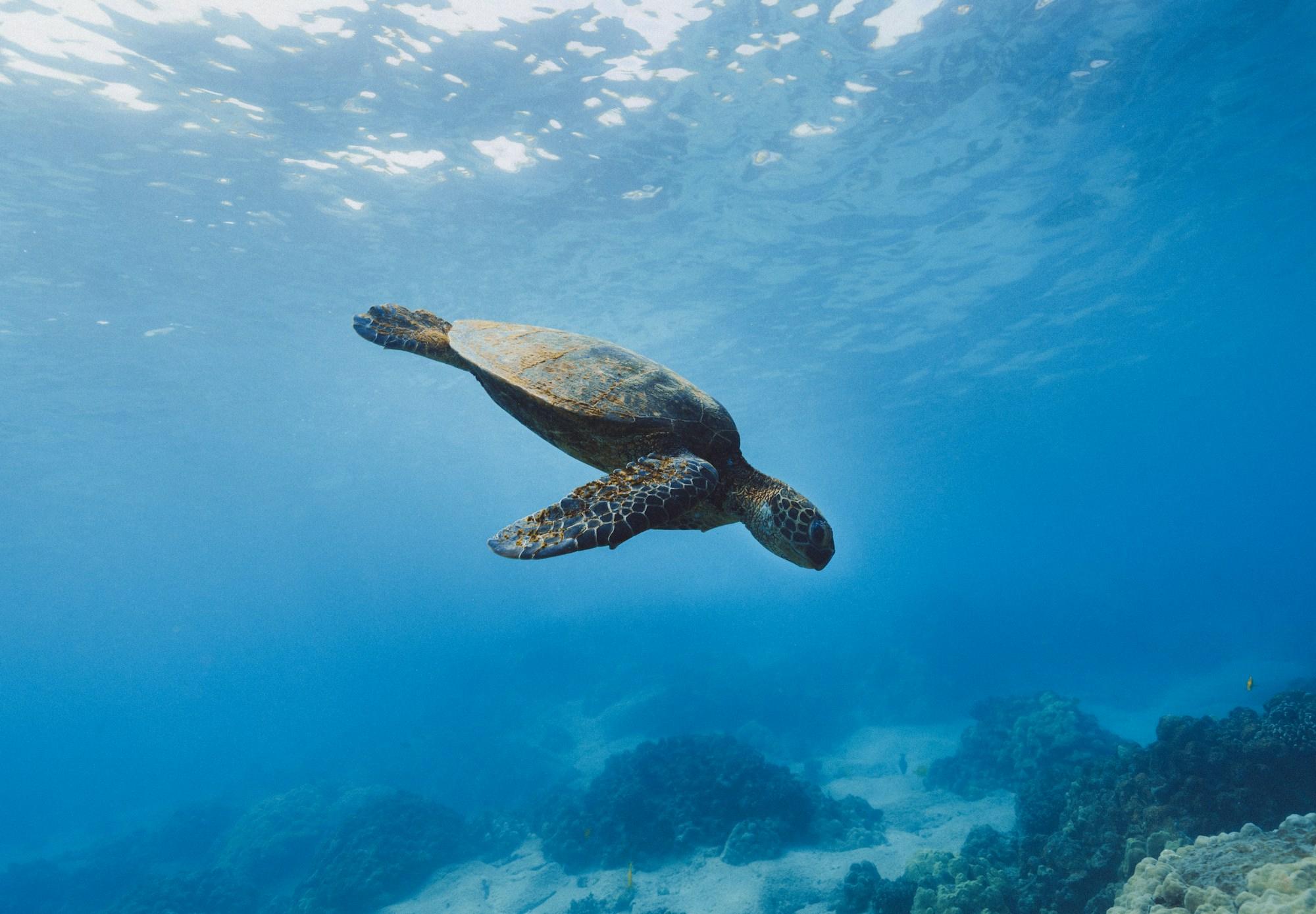
Snorkeling with turtles in Akumal: the complete guide to swimming with them without disturbing them
Why turtles come to Akumal bay every day, how the bay is protected, what the snorkel is like step by step, what else you see underwater, the best season and time to go and what to bring.
 guides
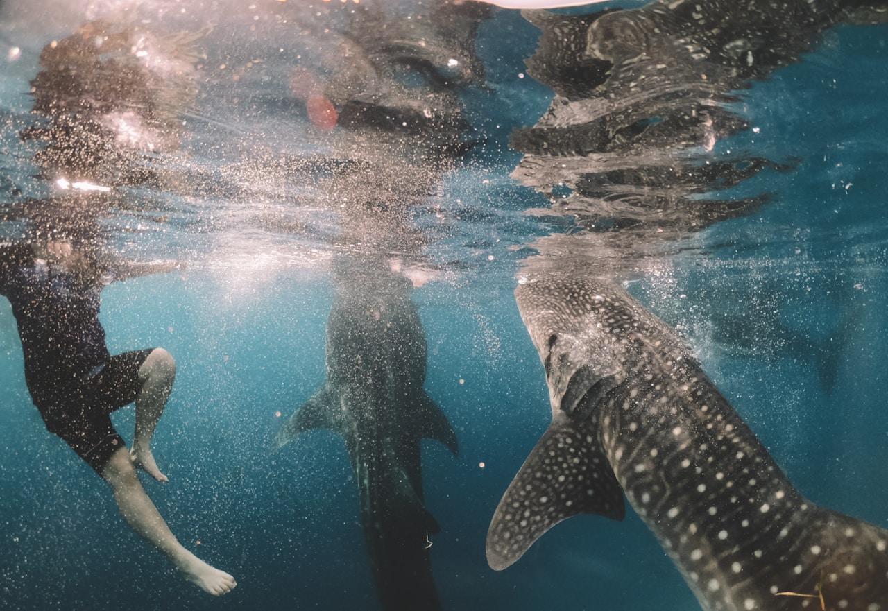
Swimming with whale sharks in Cancún: the complete guide
When to go, what to bring and what it’s really like to swim beside the world’s largest fish in the Mexican Caribbean.
 guides
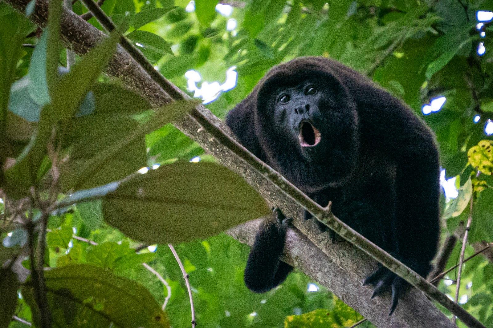
The Akumal monkeys don't perform. They recover.
The Akumal Monkey Sanctuary is one of the most reviewed tours on the Riviera Maya, and one of the few built around confiscated and injured wildlife rather than performance. Here is what a visit actually involves, and how to tell a real rescue center from a good marketing story.
Plan your trip
 4 days
The Riviera Maya with Kids: A 4-Day Family Itinerary
A 4-day Riviera Maya itinerary built for families: one gentle outing a day, no early alarms, plenty of beach and pool time, anchored by Xcaret, Xel-Há, the Akumal turtles and an easy cenote, with Chichén Itzá left out on purpose.
Best Time to Visit the Riviera Maya: Weather, Crowds and Sargassum
When to visit the Riviera Maya, month by month: dry season versus wet, crowds and prices, an honest look at sargassum and the 2026 outlook, hurricanes, water and packing, and the best dates for whale sharks, diving and the ruins.
 3 days
Adventure and Adrenaline in the Riviera Maya: A 3-Day Guide
A 3-day adventure itinerary for the Riviera Maya: an ATV, zip line and cenote combo, Xplor or a caving reserve, and a season set third day, whale sharks in summer or Cozumel drift diving the rest of the year.